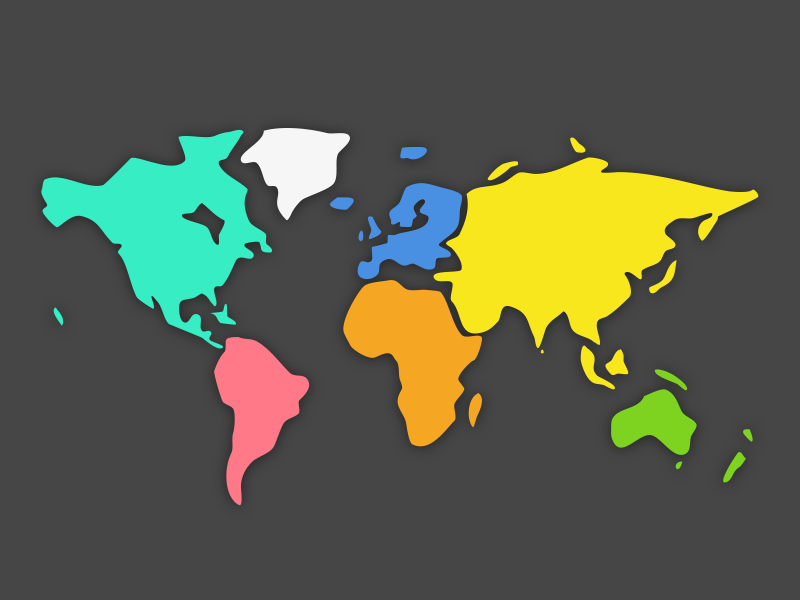
This file contains an abstract world map. It is obviously inaccurate representation of the world.
Here is a bit of geography knowledge you might find surprising. It is hard to represent our spherical world on flat piece of paper. Cartographers use something called a "projection" to morph the globe into 2D map. The most popular of these is the Mercator projection. Every map projection introduces distortion, and each has its own set of problems. One of the most common criticisms of the Mercator map is that it exaggerates the size of countries nearer the poles (US, Russia, Europe), while downplaying the size of those near the equator (the African Continent). On the Mercator projection Greenland appears to be roughly the same size as Africa. In reality, Greenland is 0.8 million sq. miles and Africa is 11.6 million sq. miles, nearly 14 and a half times larger.